Create Your First Project
Start adding your projects to your portfolio. Click on "Manage Projects" to get started
Gallipoli Peninsula
Proje Türü
Fotoğraf
Tarih
şubat 2025
Location
- Country: Turkey
- Region: Marmara
- Coordinates: Approximately 40.25° N latitude and 26.5° E longitude
Geography
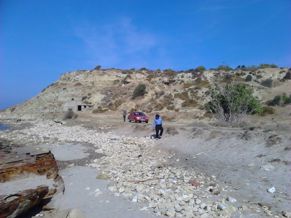
- Shape: The peninsula is roughly triangular, extending into the Aegean Sea.
- Surrounding Water:
- North: Dardanelles Strait (Çanakkale Boğazı)
- South: Aegean Sea
- Length: About 40 kilometers (25 miles) long.
- Width: Varies, but generally around 15 kilometers (9 miles) at its widest point.
Topography
- Terrain:
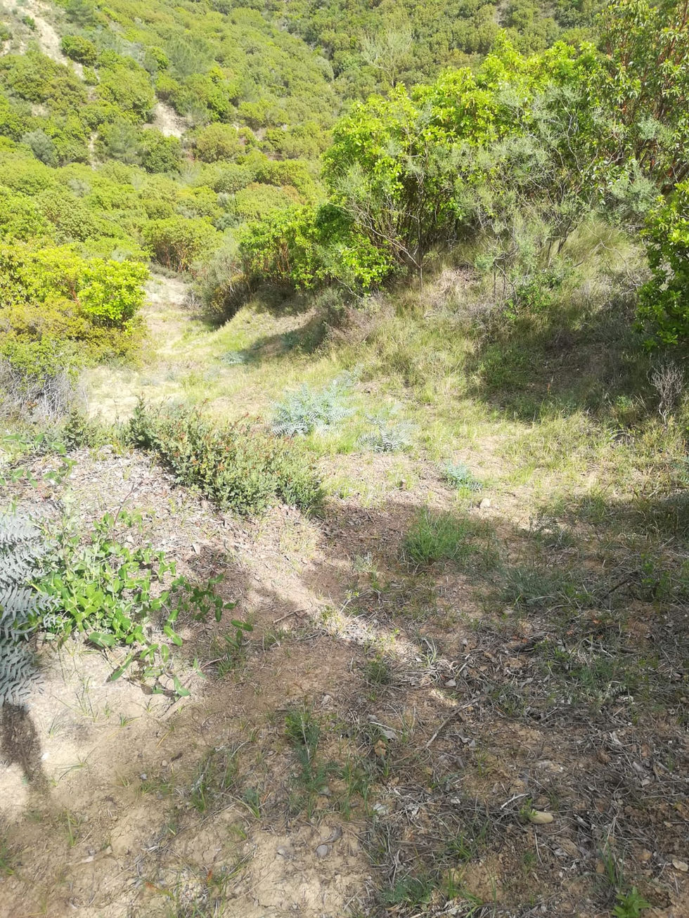
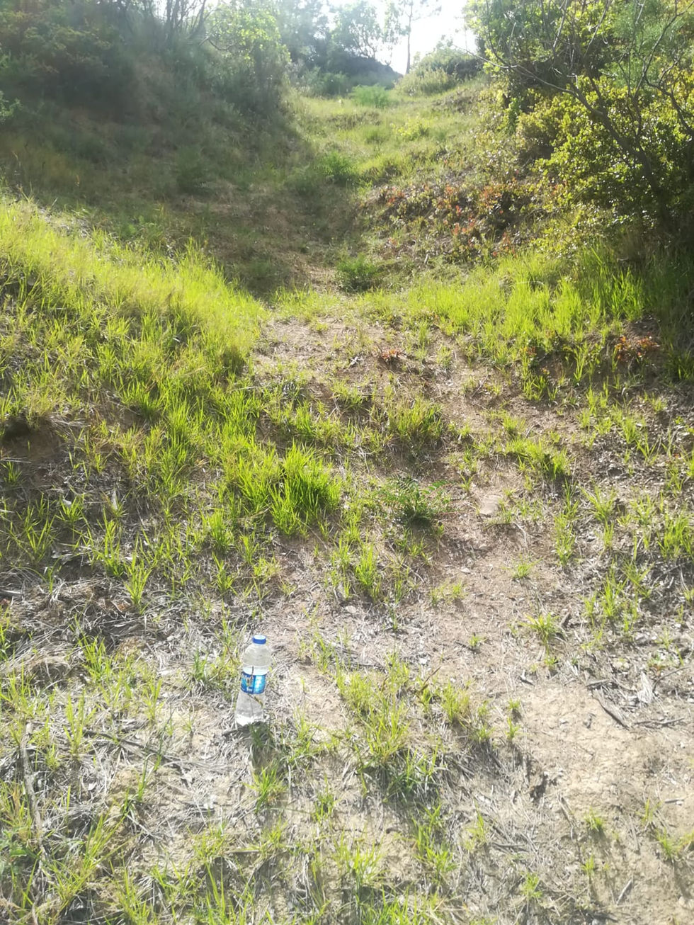
- Characterized by rugged hills and valleys.
- The highest point is Akkaya Hill, reaching approximately 200 meters (656 feet) above sea level.
- Vegetation:
- Predominantly forests, scrublands, and agricultural areas.
- Olive groves and vineyards are common.
Climate
- Type: Mediterranean climate.
- Temperature:
- Hot, dry summers and mild, wet winters.
- Precipitation: Average annual rainfall is around 600-800 mm, concentrated in winter months.
Significance
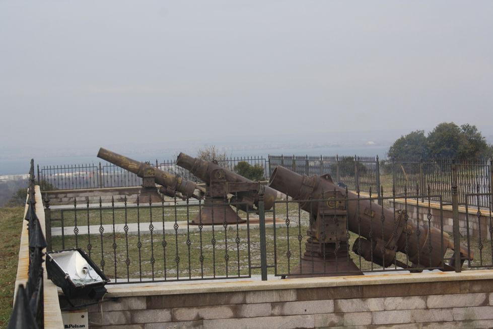
- Historical Importance: The peninsula is famous for the Gallipoli Campaign during World War I, which had significant historical implications.
- Cultural Heritage: Numerous memorials and cemeteries commemorate the soldiers who fought there.
Accessibility
- Transport: Accessible via road networks connecting to major cities like Çanakkale and Istanbul.
- **Tourism**: Popular destination for historical tourism, especially related to World War I.
Summary
Gallipoli Peninsula is a strategically located, historically significant area characterized by its rugged terrain, Mediterranean climate, and rich cultural heritage. Its geographical features have played a crucial role in both historical events and modern tourism.


